MAPS + WEATHER
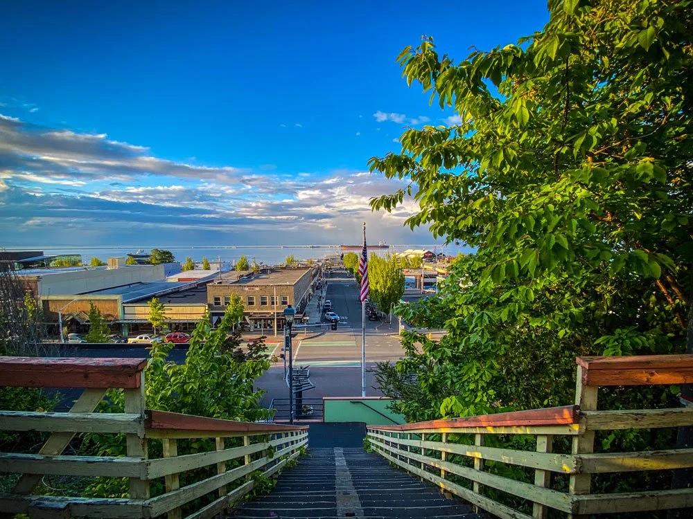
Plan your fun — and map your play — in Port Angeles. The temperate climate makes Port Angeles a year-round destination.
Find Your Way Around Port Angeles & the Olympic Peninsula
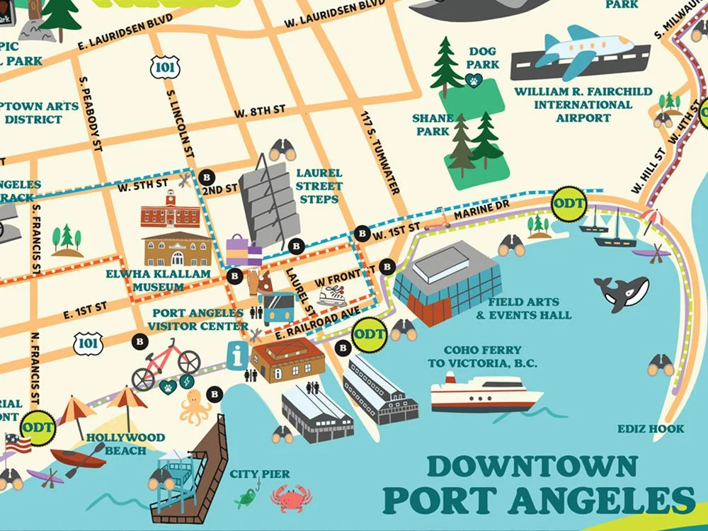
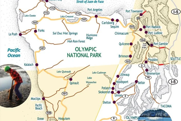
If you’re planning an upcoming trip to Port Angeles and the Olympic Peninsula, we’ve included a few maps to help guide your way.
Port Angeles’ coastal climate makes for mild weather year-round. Temperatures range during the daytime from 40 degrees in the winter months to 70 degrees in the summer and fall. Even though Western Washington has a reputation for its abundance of rain, Port Angeles sits in what’s called a rain shadow — or the “banana belt” of Washington. Port Angeles receives, on average, 10 less inches per year of rain than Seattle and has 128 days of mostly sun compared with only 88 days for Seattle. All of this sun — and 25 inches of rain — make for superb gardening and farming conditions all year-long in the region. In fact, farm fresh cuisine is part of the dining experience here in Port Angeles.
Winter Weather
As for snow, the Olympic Mountains tower over 7,000 feet above Port Angeles making winter activities like skiing, sledding and snowshoeing possible. Even more ideal, the snow stays in the higher elevations leaving the city snow-free so you can bike, hike, golf, kayak, tidepool, and beachcomb year-round. View Olympic National Park’s Hurricane Ridge webcam for current weather conditions.
Helpful Travel Information Links

BIKE MAP
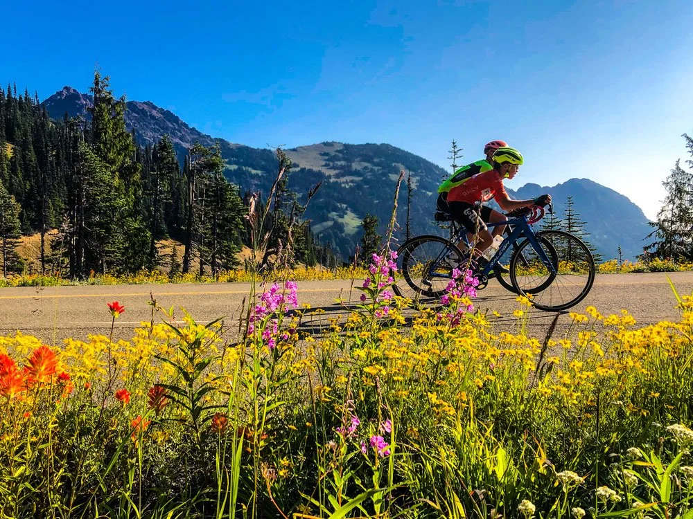
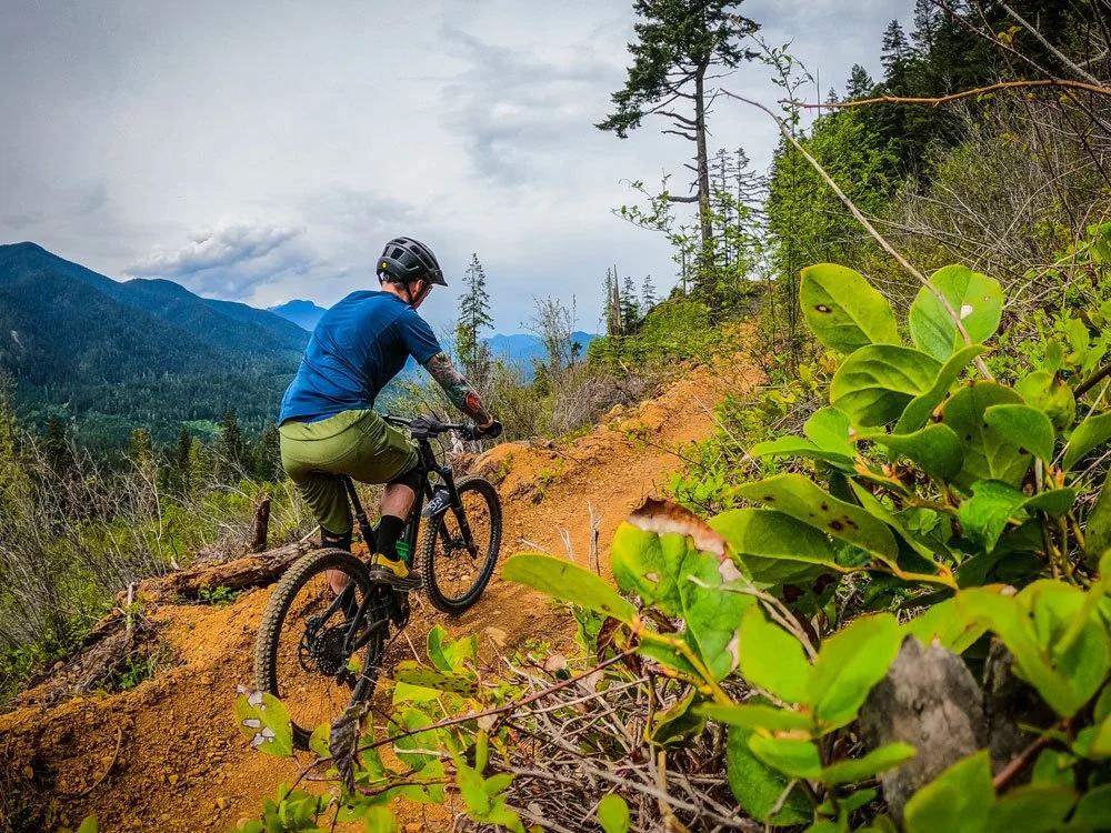
Port Angeles is Washington’s funnest place to bike. From the Olympic Discovery Trail to mountain bike parks, explore all our bike trails. View the Port Angeles bike map.
CULINARY LOOP
Take a tasty and scenic drive across the Olympic Peninsula on the Olympic Culinary Loop.

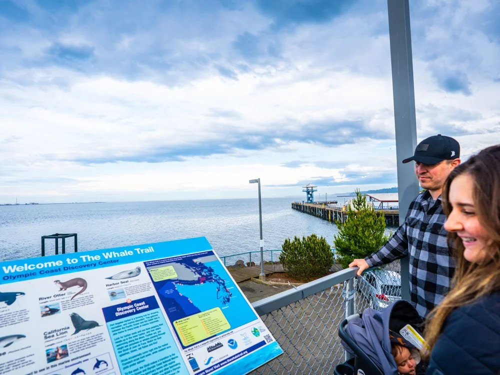
WHALE TRAIL MAP
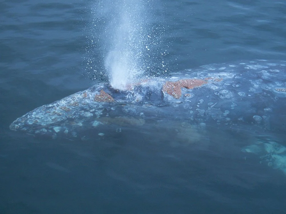
Follow the official Whale Trail along Port Angeles beaches. The best whale watching in Port Angeles is by boat. View The Whale Trail map.